Geostationary Operational Environmental Satellites
The Geostationary Operational Environmental Satellite (GOES) Program is jointly operated by NASA and the National Oceanic and Atmospheric Administration, to support weather forecasting, severe storm tracking, and meteorology research. Elements of the system work together to provide a continuous stream of environmental data to the National Weather Service NWS for weather monitoring and forecasting operations.
These four panels were selected to provide pilots with different real-time views of the atmosphere in the Pacific Northwest.
Please allow time to download video loops.
GOES satellite
GeoColor
2 hour loop - 24 images - 5 minute update
GeoColor is a multispectral product composed of True Color (using a simulated green component) during daytime. During the day, imagery looks about as it would when viewed with human eyes from space. At night, blue colors represent liquid water clouds such as fog and stratus, while gray to white indicate higher ice clouds, and the city lights come from a static database.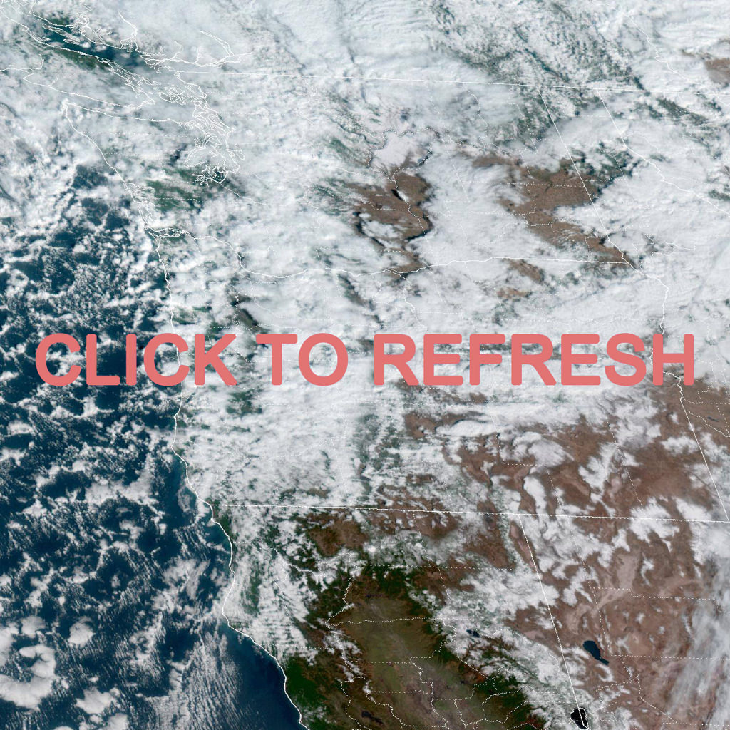
GOES-West - Sector view: Pacific Northwest - GeoColor
2 hour loop - 24 images - 5 minute update
GeoColor True Color daytime, multispectral infrared at nightAir Mass RGB
2 hour loop - 24 images - 5 minute update
Air Mass RGB is used to diagnose the environment surrounding synoptic systems by enhancing temperature and moisture characteristics of air masses. Cyclogenesis can be inferred by the identification of warm, dry, ozone-rich descending stratospheric air associated with jet streams and potential vorticity anomalies.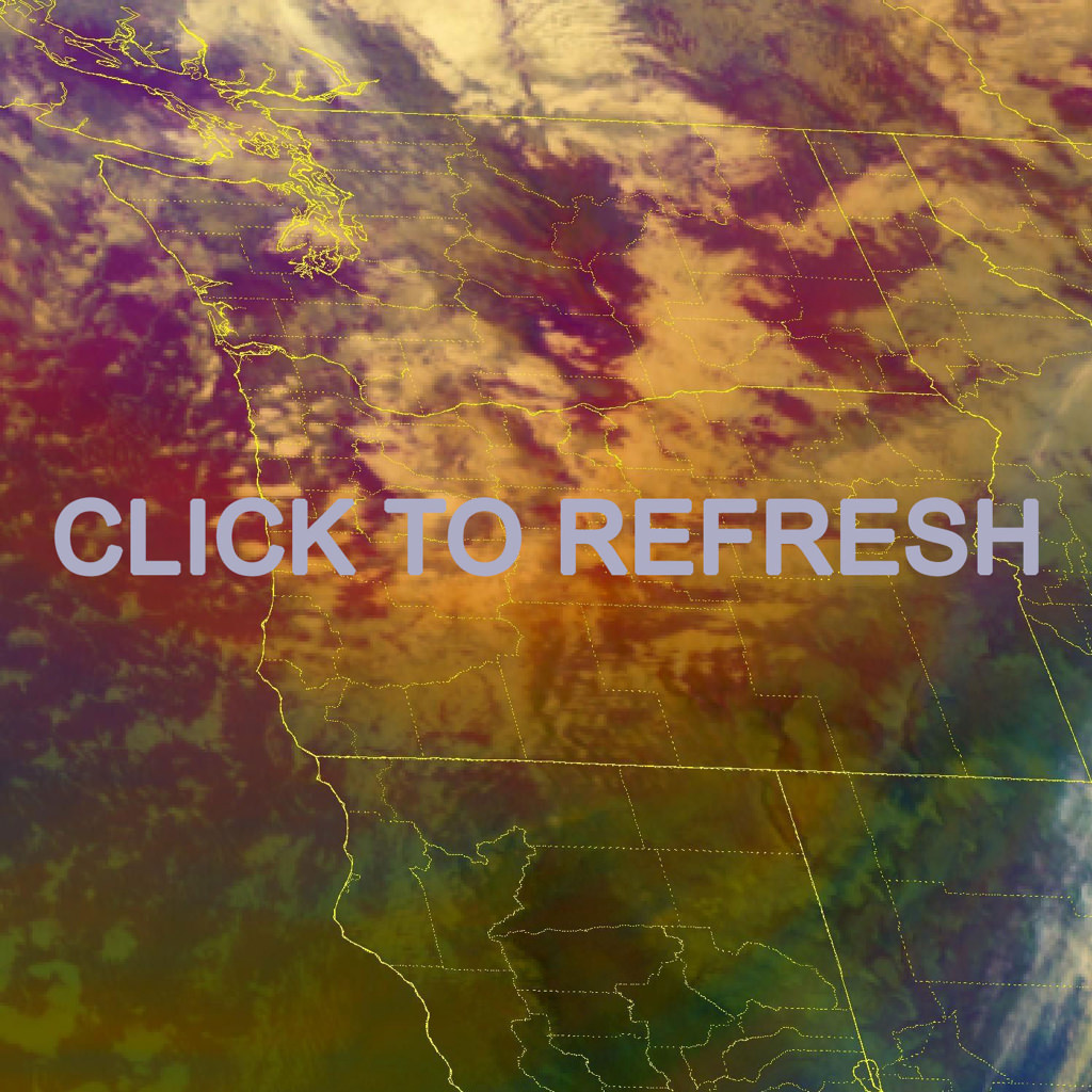
GOES-West - Sector view: Pacific Northwest - Air Mass
2 hour loop - 24 images - 5 minute update
Air Mass - RGB based on data from infrared & water vapourNighttime Microphysics RGB
2 hour loop - 24 images - 5 minute update
Nighttime Microphysics RGB The distinction between low clouds and fog in satellite imagery is challenging. Nighttime Microphysics RGB adds a proxy to cloud thickness and repeats the use of the 10.4 μm thermal channel to enhance areas of warm (i.e. low) clouds where fog is more likely.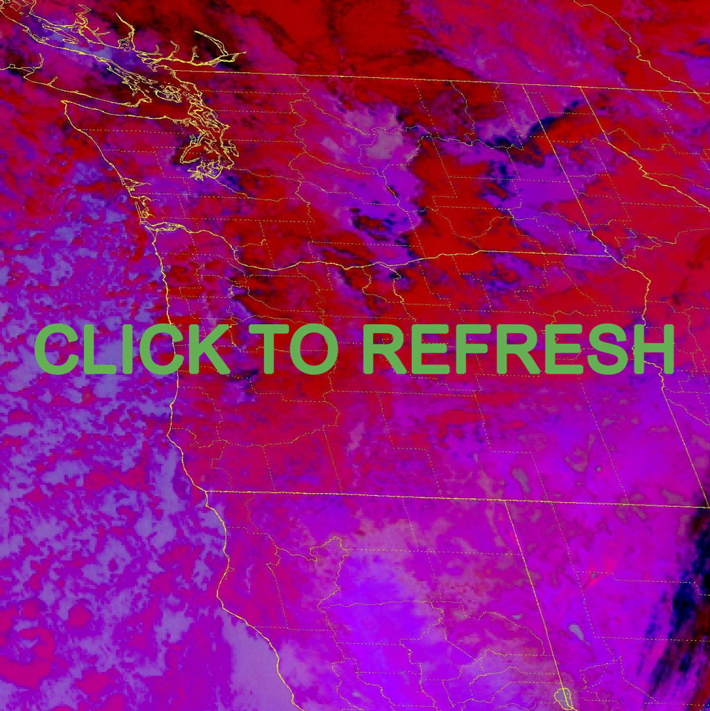
GOES-West - Sector view: Pacific Northwest - Nighttime Microphysics
2 hour loop - 24 images - 5 minute update
Nighttime Microphysics - RGB to distinguish clouds from fogFire Temperature
2 hour loop - 24 images - 5 minute update
Fire Temperature RGB allows the user to identify where the most intense fires are occurring and differentiate these from "cooler" fires. Smaller "cool" fires will appear red while increases in fire intensity cause greater contributions of the other channels resulting in white very intense fires.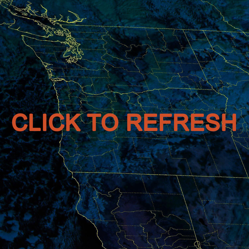
GOES-West - Sector view: Pacific Northwest - Fire Temperature
2 hour loop - 24 images - 5 minute update
Fire Temperature - RGB used to highlight fires